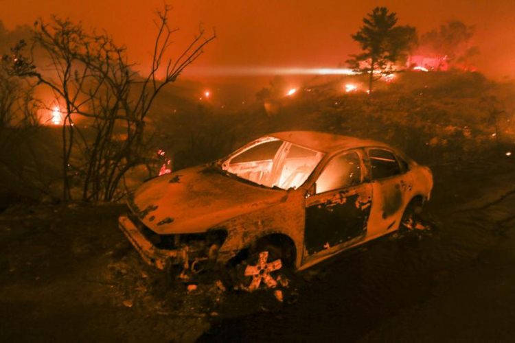
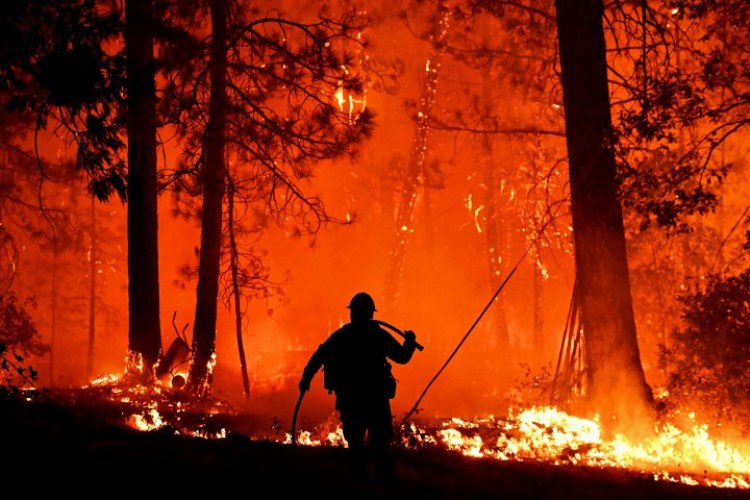
The WIFIRE program was designed to predict the movement of wildfires plaguing California. WIFIRE maps are generated by two massive supercomputers named Comet and Gordon. Comet is a powerful tool, capable of performing two quadrillion computations per second. It takes all this computing power to stay ahead of a wind-driven wildfire.
- Videos
 ArticlesSummer is coming, which means that California is bracing for the annual overlap of wildfire seasons, much too soon after the most expensive and destructive wildfire year on record. There are new cyber-infrastructure systems, such as WIFIRE from the University of California San Diego, which was designed to predict a wildfire’s path in real time.
- ArticlesPutting a wildfire out quickly is great, preventing one from starting in the first place is even better. How to do that was a hot topic at the Wildfire Technology Innovation Summit Wednesday at Sacramento State. It turns out, the future of firefighting includes a whole lot of artificial intelligence.
 ArticlesThe "SunCAVE" at UC San Diego's Qualcomm Institute has 70 monitors with 4K resolution that researchers said create the world's highest resolution virtual reality system. Researchers have created models that when combined with wind speed and other weather conditions can predict what a fire will do.
 EventsThe Summit gathered national and international thought leaders and practitioners from state and local governments, academia, industry, and others to inform and engage each other about the challenges of wildfires and tools that can help us better manage these devastating disasters.
 ArticlesKnowledge of the fuel sources in a wildfire's path is critical to predicting its movements. To that end, WIFIRE's artificial intelligence software examines high-resolution satellite imagery to predict the combustibility of the vegetation surrounding a fire, then incorporates that information into its predictions.
- ArticlesA computer model, dubbed WIFIRE, has been developed at UCSD to predict the growth of wildfires once they start. The model incorporates information feeds on current weather conditions along with data on topography and fuel types.

