Towards an Integrated Cyberinfrastructure for Scalable Data-Driven Monitoring, Dynamic Prediction and Resilience of Wildfires
Land Cover Classification at the Wildland Urban Interface using High-Resolution Satellite Imagery and Deep Learning
Scalable Detection of Rural Schools in Africa using Convolutional Neural Networks and Satellite Imagery
Automated Scalable Detection of Location-Specific Santa Ana Conditions from Weather Data using Unsupervised Learning
An Unsupervised Deep Learning Approach for Satellite Image Analysis with Applications in Demographic Analysis
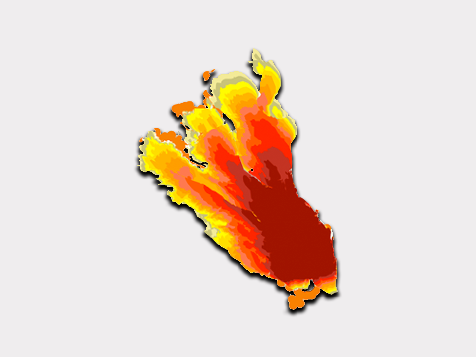
Data Assimilation of Wildfires with Fuel Adjustment Factors in FARSITE using Ensemble Kalman Filtering
Evaluation of a data-driven wildland fire spread forecast model with spatially-distributed parameter estimation in simulations of the FireFlux I field-scale experiment
Kepler WebView: A Lightweight, Portable Framework for Constructing Real-time Web Interfaces of Scientific Workflows
FireMap: A Web Tool for Dynamic Data-Driven Predictive Wildfire Modeling Powered by the WIFIRE Cyberinfrastructure