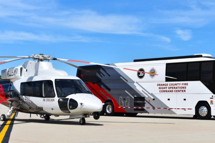
Vertical Magazine: Coulson Aviation expands night firefighting operations
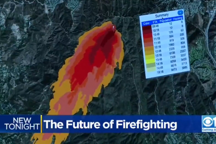
The UCSD Supercomputer will forecast where the fire direction is predicted to go and identify for fire leadership the risks and hazards for firefighters and communities.


Nguyen, M. H., Block, J., Crawl, D., Siu, V., Bhatnagar, A., Rodriguez, F., Kwan, A., Baru, N., and Altintas, I. “Land Cover Classification at the Wildland Urban Interface using High-Resolution Satellite Imagery and Deep Learning,” in the 2018 IEEE International Conference on Big Data.
Yazdani, M., Nguyen, M., Block, J., Crawl, D., Zurutuza, N., Kim, D., Hanson, G., and Altintas, I., Scalable Detection of Rural Schools in Africa using Convolutional Neural Networks and Satellite Imagery, In the fifth international workshop on Smart City Clouds: Technologies, Systems and Applications (SCCTSA) at the IEEE/ACM International Conference on Utility and Cloud Computing (UCC), 2018.